
Product overview
MapGIS IGServer (JiuZhou) is a cross-platform high-performance GIS server product supporting independent and controllable basic hardware and software resources. It is also a browser-based GIS application and development platform software, providing powerful data management, analysis, visualization, and sharing services, as well as WebGIS application development and extensions. It supports both standalone and microservices operation modes.
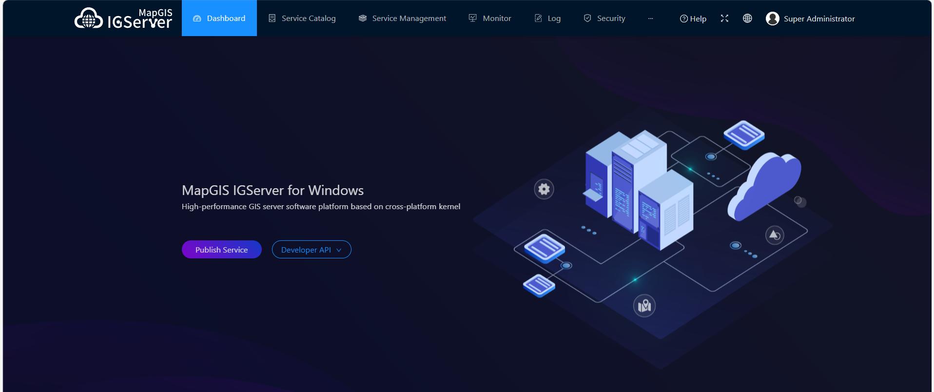
MapGIS IGServer (JiuZhou) provides directory services, map services, element services, and geoprocessing services based on the MapGIS microkernel, and supports users in expanding functions and services at different levels in various ways. It has the following features:
Domestically produced GIS platform
- Cross-platform kernel, full product 64-bit support, superior performance.
- Support for domestic production. Supports x86 and domestic CPU architectures such as Phytium and Loongson; Supports multiple 32-bit and 64-bit operating systems, as well as domestic operating systems such as Kirin and Galaxy Kirin; Supports domestic databases such as Boyang, Dameng, and KingBase. Fully supports Huawei TaiShan 2280 servers (CentOS 7.6 x86_64), Huawei Euler OS, and Kunpeng aarch64 chips.
- Innovative cloud authorization supports online authorization authentication and offline QR code authentication, providing flexible machine binding and unbinding mechanisms.
Broader data sources and more diverse service sharing
- Multi-source data access, supporting third-party open-source map service resources, local file data, OGC resources, file-type data from MongoDB data sources, spatial relationship data from PostgreSQL data sources, and more.
- Diverse map service sharing, supporting MapGIS 2D and 3D map service release, third-party open-source map service usage, local file data release, OGC service release, vector tiles, third-party tiles, etc.
Comprehensive service management and multi-level functional expansion
- Providing registration, publishing, and management services for traditional spatial information services.
- Supports GIS kernel expansion, IGS service expansion, and SDK API expansion.
High-performance service enhancement, diversified expression optimization
- Based on mosaic datasets, it brings users large-scale, intelligent imaging service capabilities.
- Optimized spatial analysis by adding multiple buffering methods and topology check and handling rules, comprehensively enhancing full-space analysis capabilities.
- Lightweight 3D scene data exchange format M3D enables efficient multi-terminal integrated analysis and rendering, combined with powerful 3D functional services, delivering outstanding full-space 3D capabilities.
By integrating with browser-side development SDKs, it enhances efficient visualization and analysis of big data, real-time streaming data, and 3D scenarios on top of traditional WebGIS development, bringing users a brand-new development experience.