
General functions
Reset/zoom in/out
 Function description
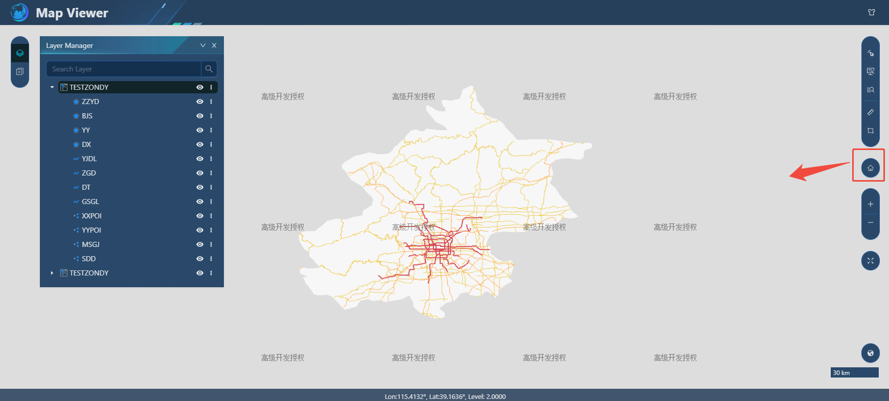
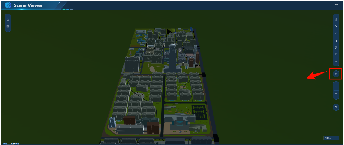
Realize the rapid reset, reset, and zoom effects of 2D maps and 3D scenes.
 Operating instructions
1. Click the "Reset" button in the 2D map and 3D scene preview view to quickly reset the map;
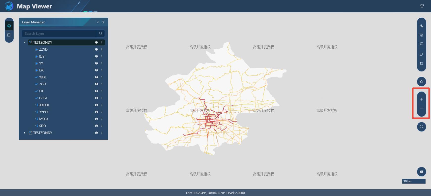
2. Click the "+"/"-" button in the map window; or use the left mouse button to double-click, or use the mouse wheel to enlarge/zoom out the map.
Measurement
Function description
The measurement tool supports length and area measurement in 2D and 3D scenes, as well as ground distance, ground area, triangle, slope, azimuth, and angle measurement types in 3D scenes. The Leaflet and MapboxGL engines support length and area measurements, and the Cesium engine supports ground distance, ground area, Triangulation, slope, azimuth, and Intersection Angle.
Operating instructions
- 2D measurement
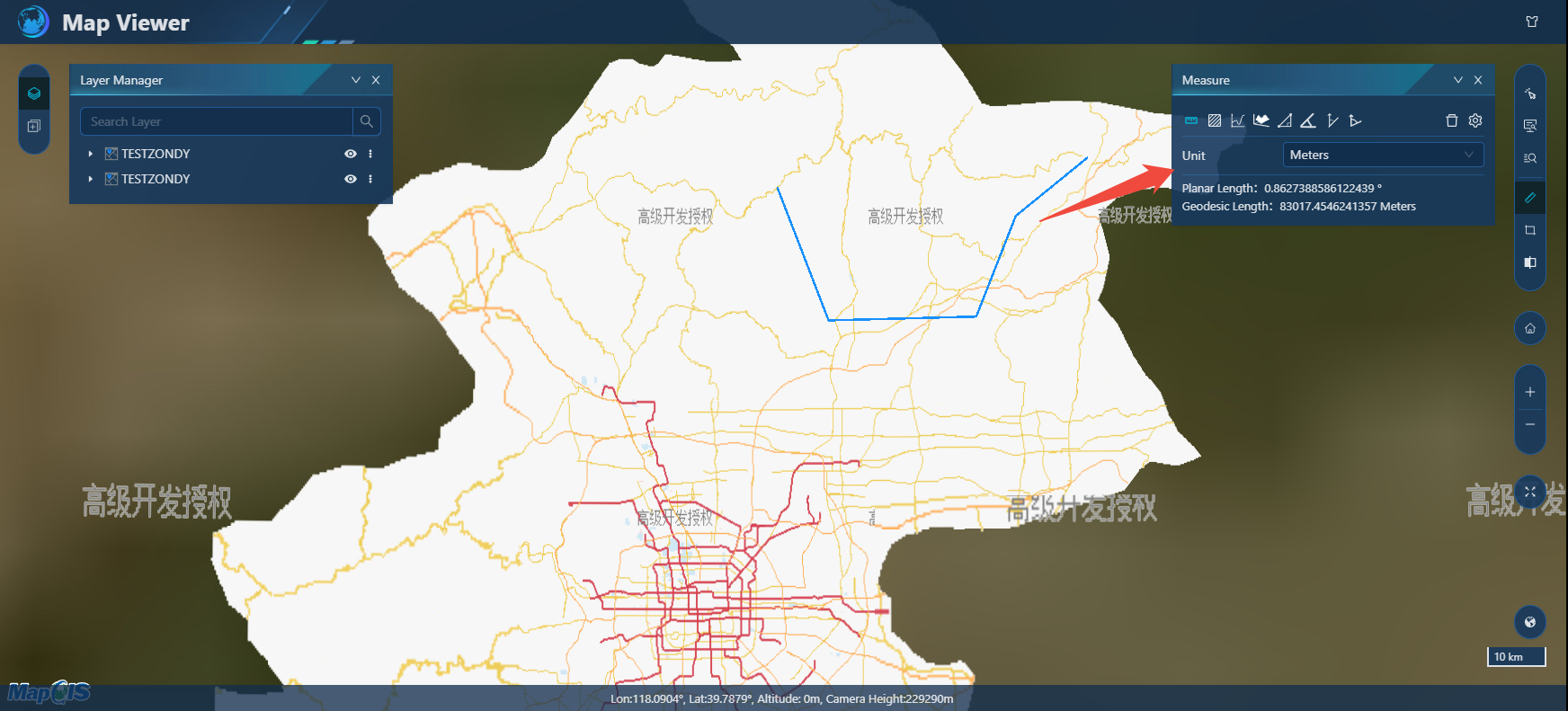
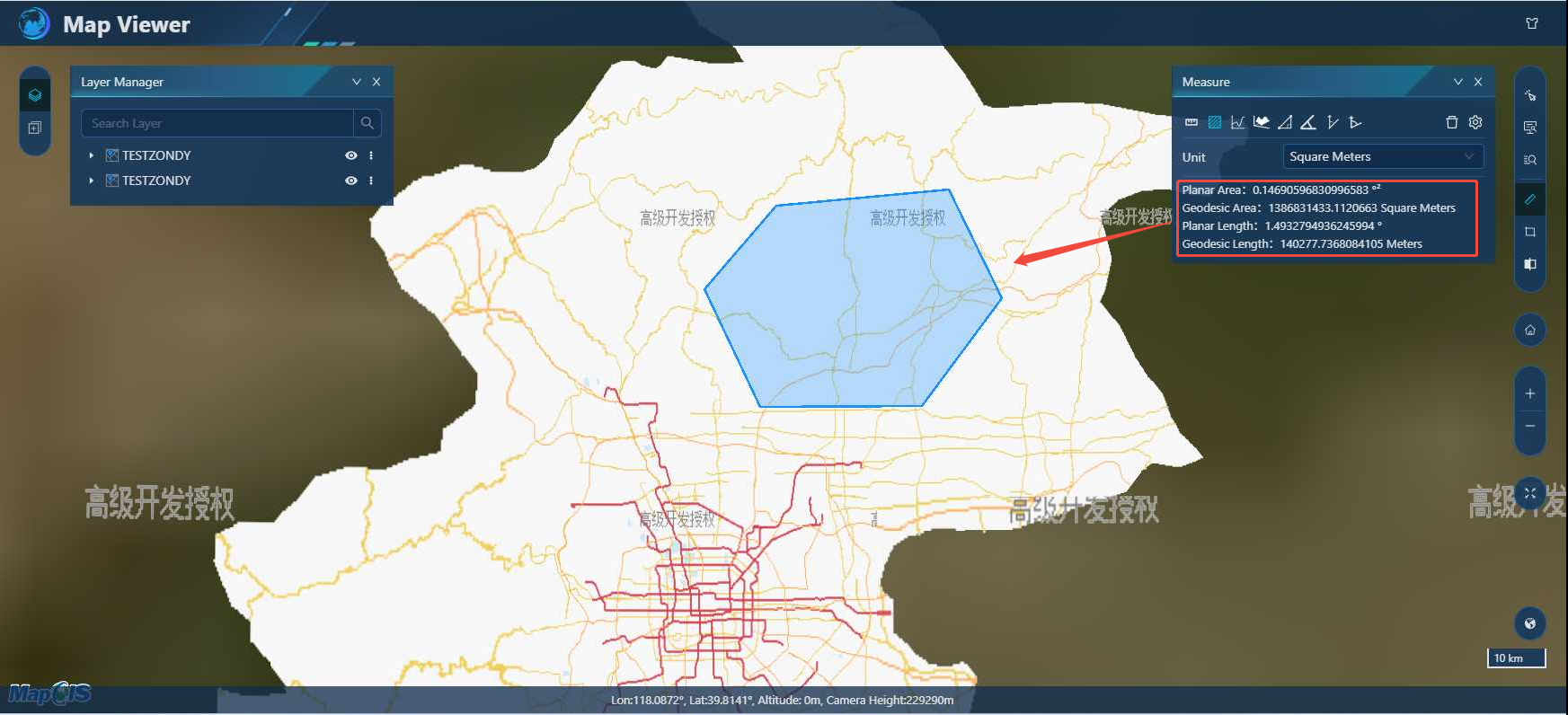
1. Click the "Measure" button to select the measurement method, length or area;
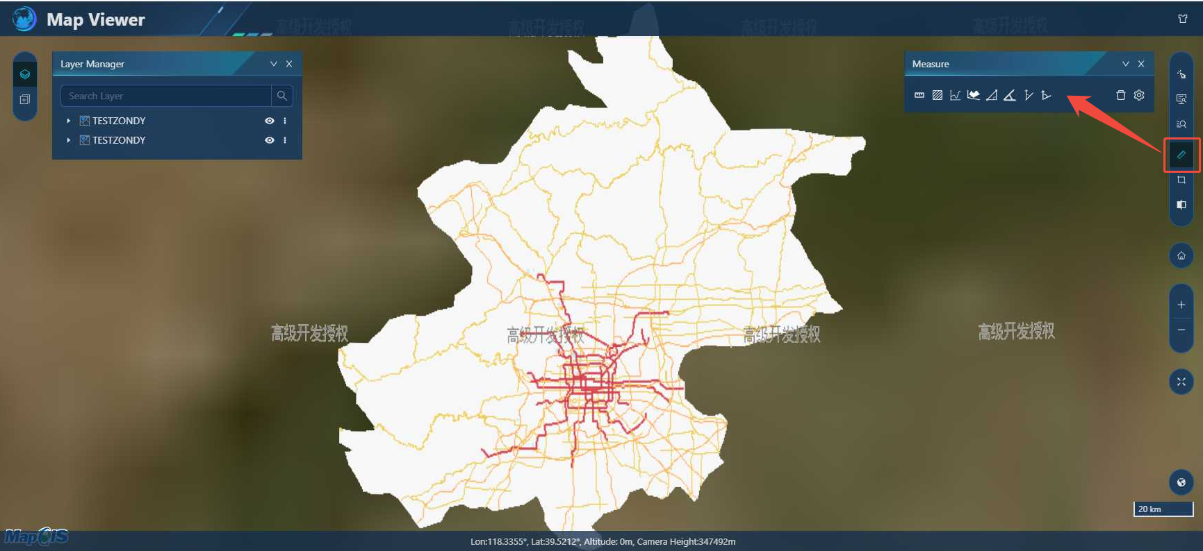
2. Left-click on the map to draw the distance and area of the measurement, and double-click to end. View the measurement results.
- 3D measurement
Click the engine in the lower right corner to switch to the "Cesium" display, and click the "Measure" button on the toolbar;
1. Spatial distance/spatial area: the specific operation is similar to the application of two-dimensional length/area;
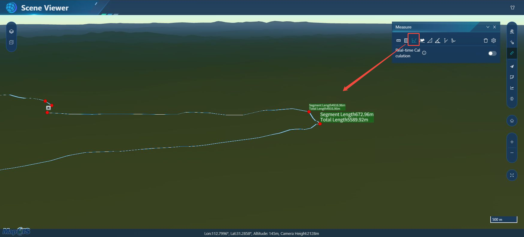
2. Ground distance: Left-click on the map to draw the measured distance, and right-click to end. Based on the terrain data, measure the distance of the line drawn by the terrain. To ensure the accuracy of the measurement, please add the terrain to the 3D scene before measuring.
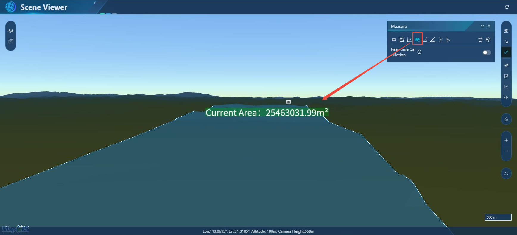
3. Ground area: Click left on the map to draw the measured area, and right click to end. Based on the terrain data, measure the area of the polygon drawn dependent on the terrain. To ensure the accuracy of the measurement, please add the terrain to the 3D scene before measuring.
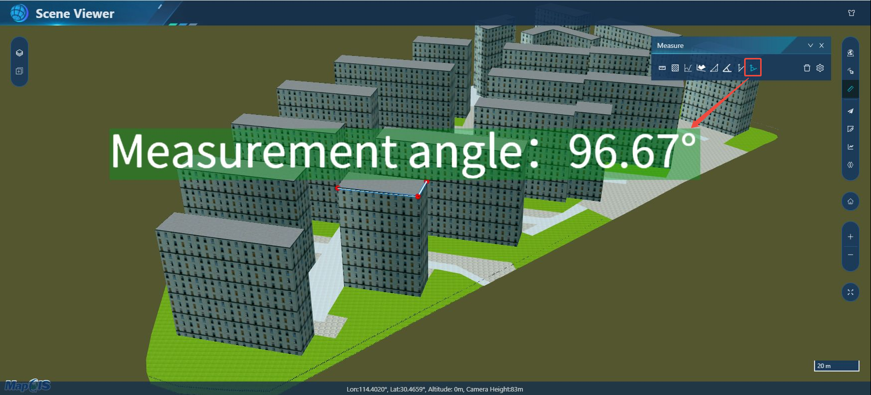
Triangulation: Left-click on the map to draw the angle of the measurement, right-click to end. Triangulation is a method of measuring the distance of a target by measuring the angle of a target point to a known endpoint with a fixed reference line.
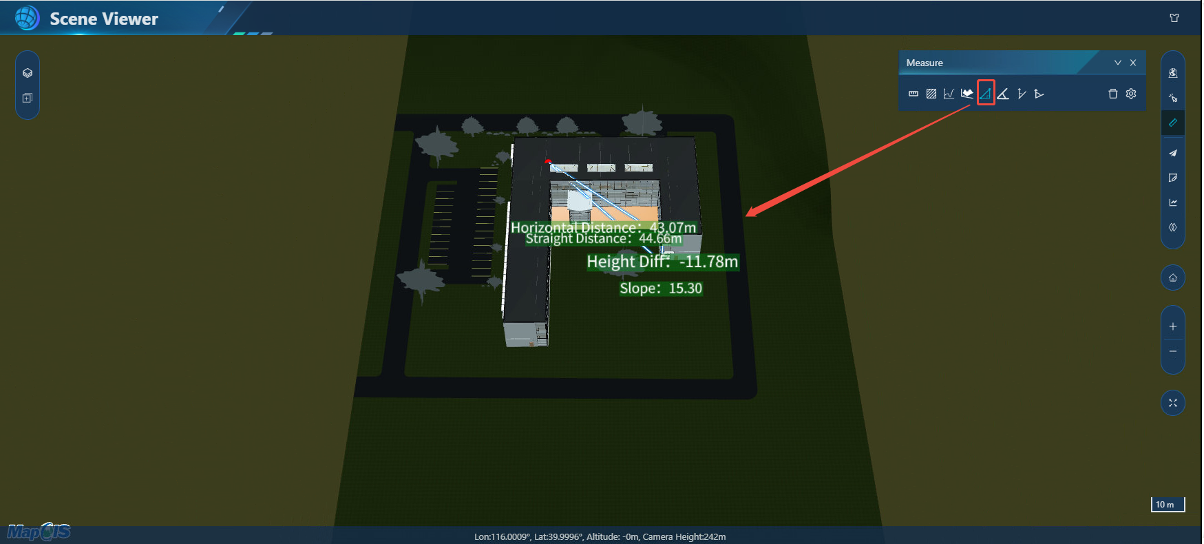
Slope measurement: Left-click on the map to draw the measured slope, and right-click to end. To ensure the accuracy of the measurement, please add the terrain to the 3D scene before measuring.
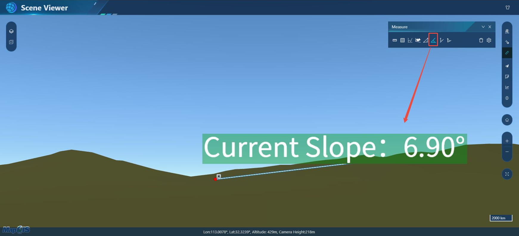
Azimuth measurement: Left-click on the map to draw the measured azimuth angle, right-click to end.
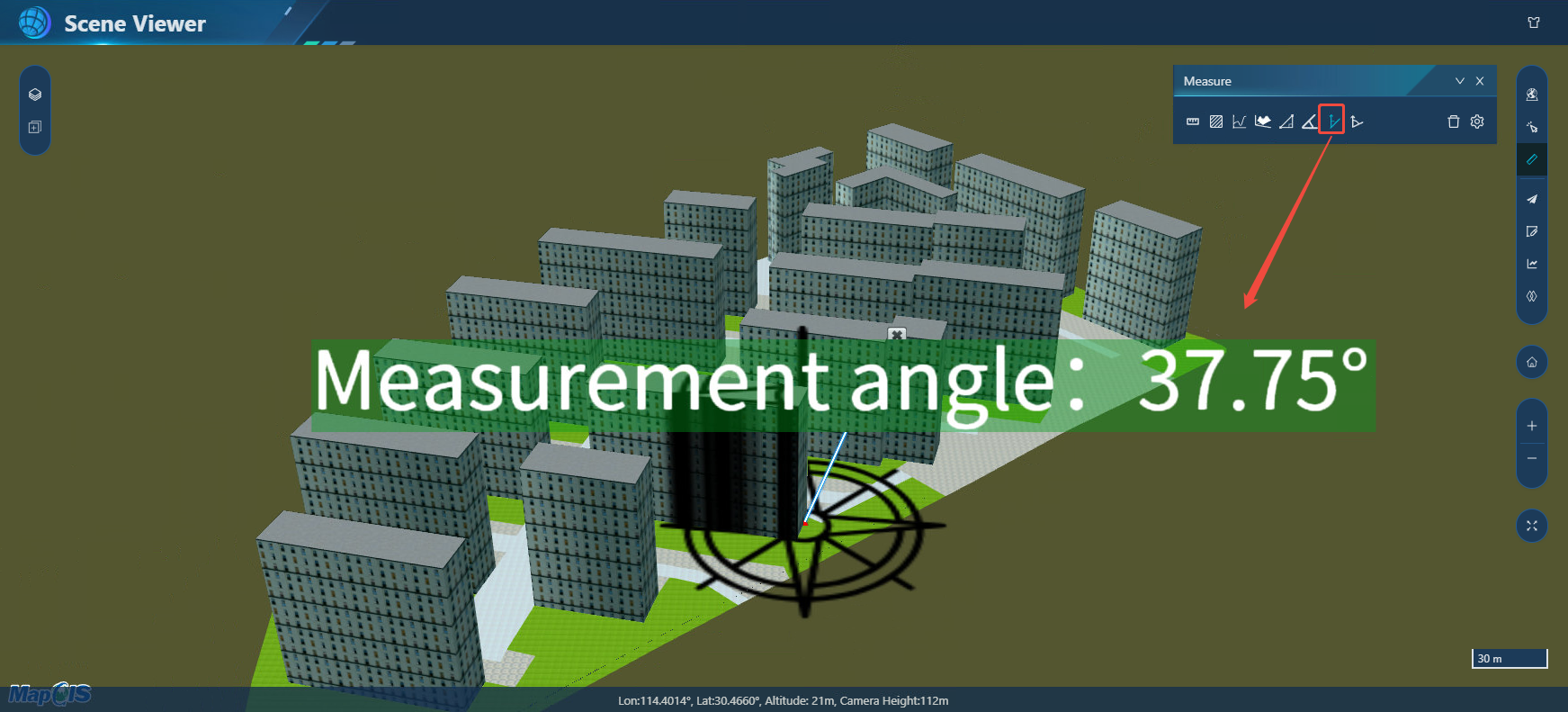
Angle measurement: Left-click on the map to draw the angle of measurement, right-click to end.
3. Click the "Clear" button to clear the measurement results.
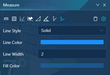
4. Click the "Settings" button to set the display effect of the measurement parameters. Including line style, line color, line width and fill color.
Screenshot
Function description
Realize the saving of 2D maps and 3D scene views as pictures.
Operating instructions
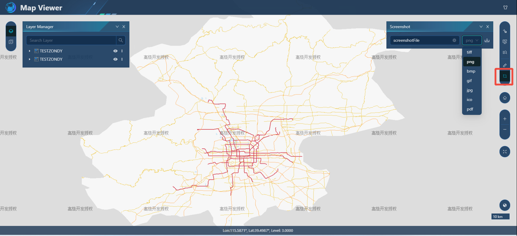
1. Adjust the map perspective, click the "Screenshot" button, enter the image name, and select the format of the save image, including TIFF, PDF, BMP, PNG, GIF, JPG, and ICO types.
Roll-up
Function description
This function can display two or more loaded data and dynamically display or hide a part of the data.
Operating instructions
1. Switch to MapboxGL or Cesium display engine, click the rolling shutter button on the toolbar to turn on the rolling shutter function, and select at least 2 data.
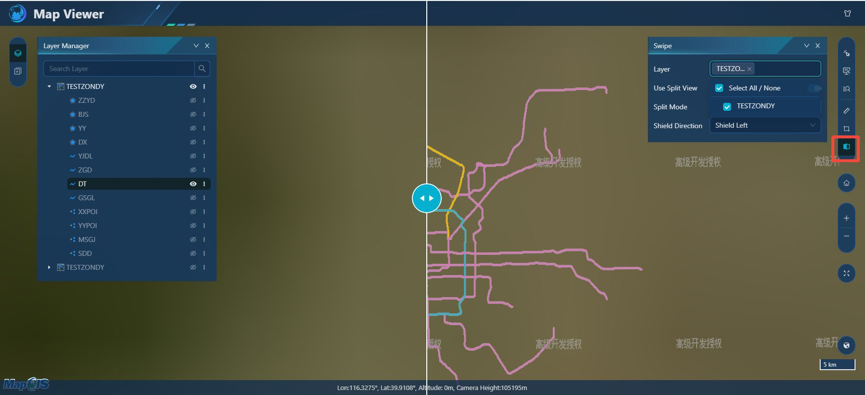
- [Layer]: Select the service layer participating in the rolling shutter, and the service data in the drop-down box is consistent with the data loaded in the view.
- [Use Roller Shutter]: When turned on, the roller shutter function is used in the current view, and it cannot be used after it is closed.
- [Roller shutter mode]: select up and down roller shutter display or left and right roller shutter display;
- [Shielding Direction]: Select the service shielding direction, that is, which direction the data is hidden when using the roller shutter.
2. After setting the parameters, you can display the roller shutter effect by dragging the mouse in the view.